
Overview
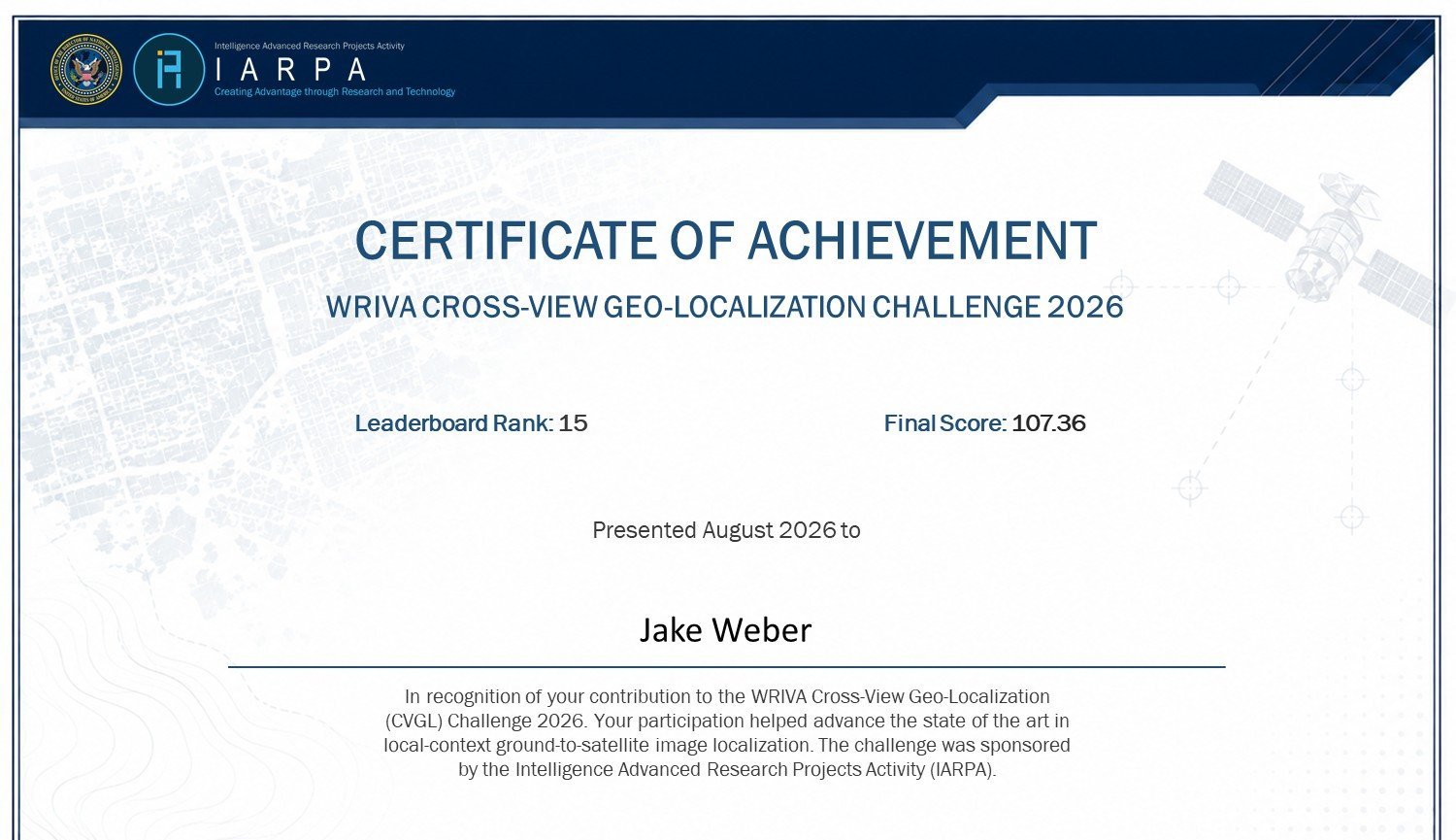
Cross-view geo-localization means working out where a ground-level photo was taken by matching it against overhead satellite imagery. In IARPA's 2026 WRIVA CVGL Challenge, systems received sequences of ground camera frames and had to predict each frame's latitude, longitude, heading and pitch on Maxar satellite GeoTIFFs, including on test sites whose data differed from training. I competed solo and finished 15th globally with a final score of 107.36, recognized by an IARPA certificate of achievement.
What I built
My pipeline starts from a DINOv3-based cross-view architecture (from Johns Hopkins University). It slides a window over the satellite map, embeds each 128×128 chip and the ground frame into 2048-dimensional features, and ranks chips by cosine similarity. On top of that baseline I made several upgrades.
Accuracy
- Softmax spatial-centroid aggregation. The baseline snapped every prediction to the center of a grid chip, a built-in error of about 32 m. I switched to 50%-overlapping chips (64 px stride) and computed a softmax-weighted centroid of the top matches, giving continuous coordinates.
- Dynamic CRS reprojection. The pipeline detects each GeoTIFF's projected coordinate system and converts predictions to standard WGS84 latitude/longitude on the fly, using rasterio and pyproj.
Speed and robustness
- Variance filter. Blank or low-information satellite tiles (pixel variance < 10) are skipped before they reach the GPU.
- Corrupted-image guardrails. Unreadable ground images fall back to the site's center instead of crashing the run or producing missing-file penalties.
- Local NVMe caching. Model weights and code are copied to local disk before inference, which isolated the run from network-drive disconnects (Errno 107) under heavy read load.
- Stateful resume. A skip-ahead scanner checks which frames already have saved predictions, so 10-hour runs could be stopped and resumed, even on a different server, without losing progress.
Submission
- A custom packager writes thousands of per-frame JSON predictions into the required folder tree and validates the counts against the inputs. It handles both the in-distribution sites (A01–A11) and the out-of-distribution site (M02).